Randall’s United Methodist Church — L-83
A congregation remembered through homes, itinerant preaching and successive buildings.
The longer story.
The marker recalls early services associated with Jesse Lee and Francis Asbury in John Randle’s home around 1785. DNCR describes a congregation whose beginnings are difficult to date precisely: 1783 is the traditional organization date, but lost records and fires complicate the evidence. Early household gatherings and a later formal organization should not be treated as the same documented event.
Asbury’s journal records six visits between 1785 and 1805, according to the state essay. A log church existed by 1790, followed by rebuilding after fire and storm damage. The account names later buildings in 1828 and after an 1858 storm, and the modern structure of 1974. The state marker itself was originally cast in 1974 and points three-quarters of a mile east.
The cemetery includes Randall family burials and graves associated with enslaved people who worshipped in the congregation. That history belongs in the story alongside prominent preachers. A congregation’s continuity does not mean every member experienced its institutions on equal terms.
Research: NC DNCR: current historical essay & marker record ↗ · HMdb: marker photographs, transcription & location ↗
How to read this place.
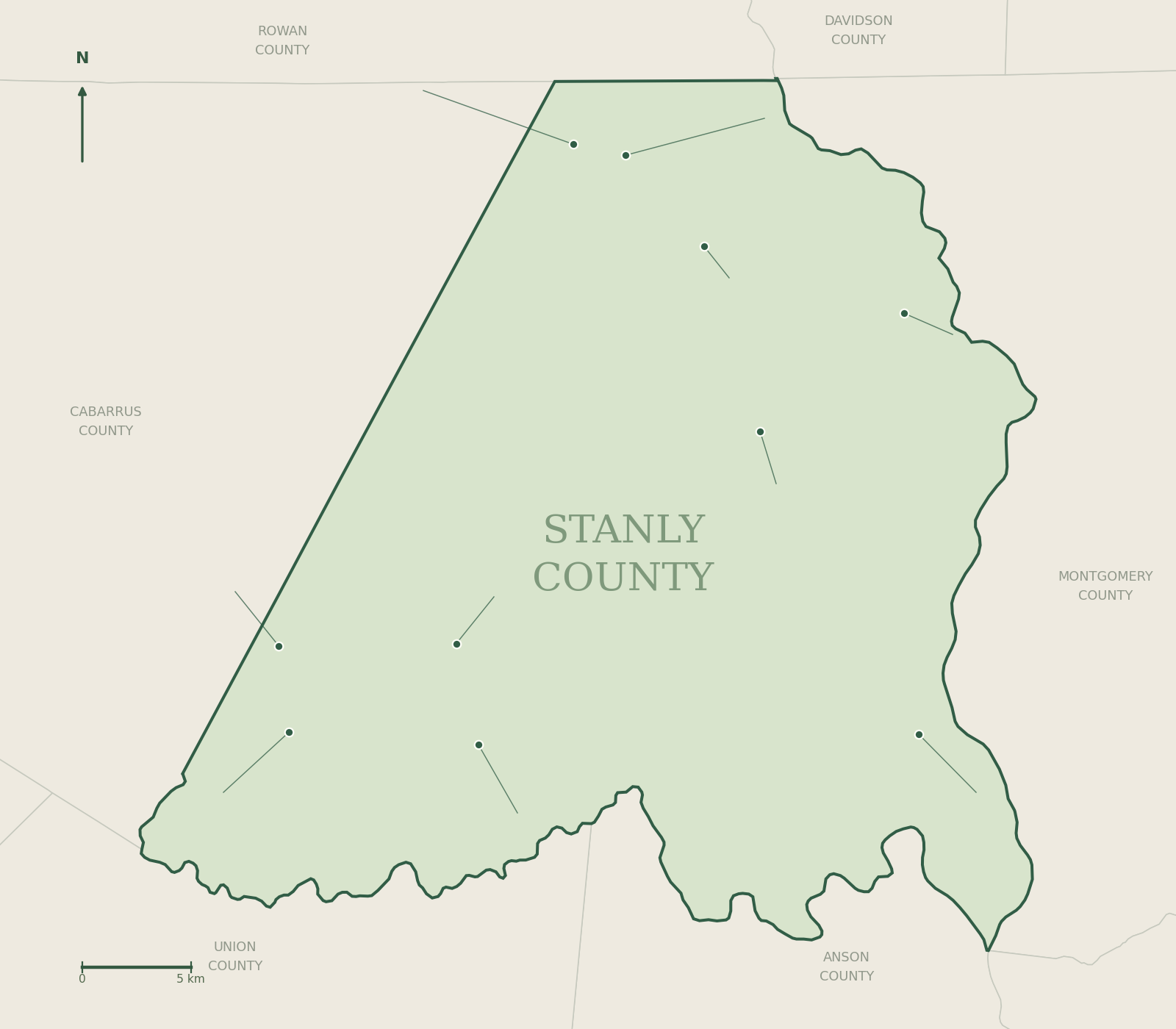
This is a history of a community as much as a sequence of buildings. Home worship, traveling clergy and repeated rebuilding suggest different forms of organization at different times. Treat the traditional founding date as a tradition supported to varying degrees by surviving evidence. Visit arrangements should respect the congregation and cemetery; the map identifies the roadside sign, not permission to enter any building.
Milestones at a glance.
- 1783Traditional organization date; evidence uncertain
- 1785–1805Six Asbury visits in DNCR account
- By 1790Log church built
- 1828Replacement frame building
- 1858Storm leads to another building
- 1974Modern church and marker-era milestone
Nearby and connected stories.

Fight at Colson’s — L-51
A small 1780 battle, and a correction to the marker’s familiar wording.
Read the full history →
Pfeiffer University — L-73
From a small mission school to a university in northern Stanly.
Read the full history →Keep exploring Stanly history
Rivers, rail, mills and the towns they built.
 County originsHow Stanly was formed in 1841
 Towns & communitiesFrom Badin to Big Lick
 The landscapeUwharries, rivers and lakes
 IndustryDams, aluminum and textile mills
 MuseumsWhere to see the county story
 Historical markersEvery marker, mapped
 Rosenwald schoolsKingville and community education
 Research toolsArchives, deeds and family history