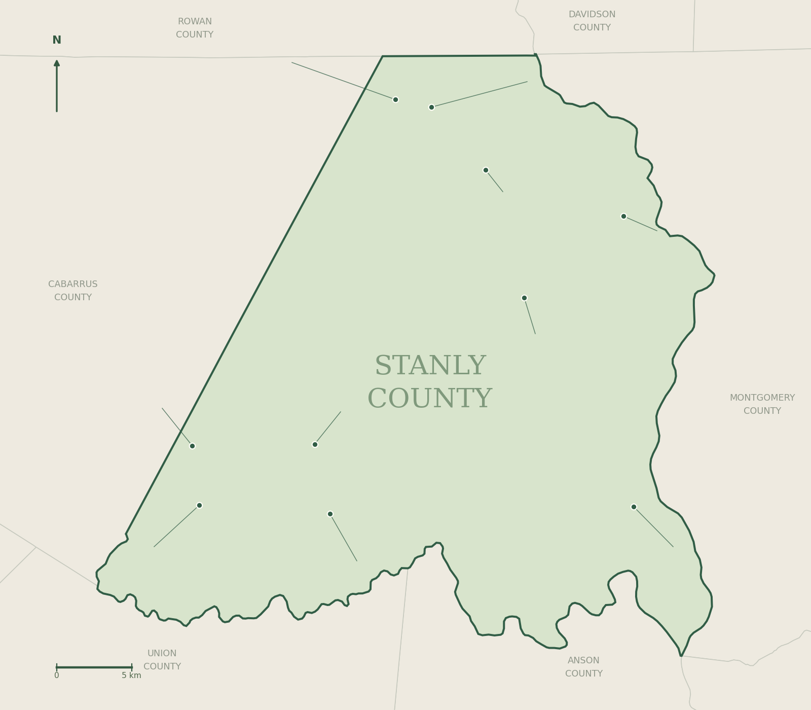
History of Stanly County: Towns, People & Places
Explore Stanly County history through ten town histories, museums, landscapes and primary-source research.
Pictured: the Snuggs House, Albemarle. Photo: Jerrye & Roy Klotz, MD / Wikimedia Commons, CC BY-SA 3.0
Follow the signs. Find the stories.
Explore all 22 documented county markers and memorials, plus two additional sites in Albemarle’s marker program. Every entry has its own history, photographs or a documented setting image, source links, milestones and directions.
Follow the story a little further.
Read the County Journal’s October history features, then explore the reference guides below.

How rivers and railroads shaped Stanly County
Explore how rivers, county government, railroads and community life shaped Stanly County, with photographs, a timeline and a population chart.
Read the story →
Before Badin Lake: the making of a company town
Discover the history behind Badin Lake, Narrows Dam and the company town, with photographs, a timeline, an energy diagram and places to explore.
Read the story →
A county’s history lives in more than its founding date. Explore settlement, industry, schools, waterways and the communities whose experiences shaped this part of North Carolina.
How the county took shape
County formation and a timeline for further study.
Explore →Before the countyLandscape & Indigenous history
Archaeology, rivers and careful interpretation.
Explore → Work & change
Gold, railroads & industry
How transport and production reshaped local towns.
Explore →Image and source details in the linked guide.People & placeCommunity histories
Kingville, West Badin and stories beyond town halls.
Explore → Visit & learn
Museums & historic places
Connect reading with collections and public programs.
Explore →Image and source details in the linked guide.Go deeperResearch your own story
Records, photographs, oral histories and citations.
Explore →The history of every town
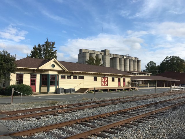
 Albemarle train station · 2019 · Indy beetle / CC0Town history
Albemarle
A county seat and a place to begin
Explore → Badin, North Carolina · 2021 · Indy beetle / CC0Town history
Badin
A French beginning beside the Yadkin
Explore → Locust municipal map · U.S. Census Bureau · 2025Town history
Locust
From Crossroads to Locust
Explore → Misenheimer, North Carolina · 2020 · Indy beetle / CC0Town history
Misenheimer
Springs, a railroad stop and education
Explore → New London municipal map · U.S. Census Bureau · 2025Town history
New London
Bilesville, gold and a new name
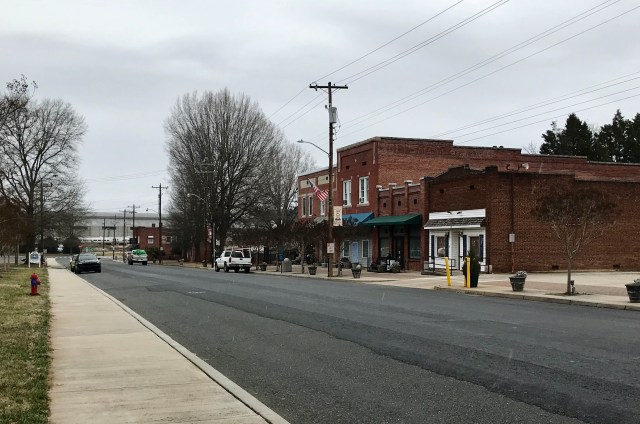
Explore → Main Street in Norwood · 2020 · Indy beetle / CC0Town history
Norwood
From Center to a chartered town
Explore → North Main Street in Oakboro, North Carolina · 2023 · Indy beetle / CC0Town history
Oakboro
The railroad remakes the crossroads
Explore → Red Cross municipal map · U.S. Census Bureau · 2025Town history
Red Cross
An old crossroads, a modern municipality
Explore → Richfield municipal map · U.S. Census Bureau · 2025Town history
Richfield
Mills, the Ritchie family and a town center
Explore → Stanfield municipal map · U.S. Census Bureau · 2025Town history
Stanfield
Railroad origins and community institutions
Explore →Schools and community life
Explore Stanly County’s Rosenwald schools and Kingville’s educational heritage, then browse the community directory.
Community photographs: Indy beetle / Wikimedia Commons, CC0. Images show the identified places at the dates photographed; they are not photographs of advertised events.
Browse the complete guide →