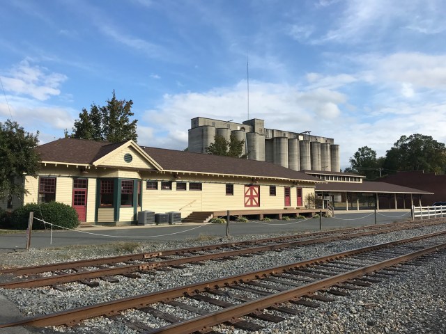
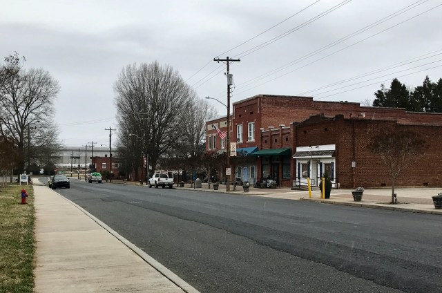
A drive across Stanly County is a trip through several different histories. Albemarle’s courthouse streets, Badin’s industrial landscape, Norwood’s Main Street and the communities of western Stanly did not develop for exactly the same reasons. The connections between them—water, work, transportation and local institutions—make the county easier to understand.
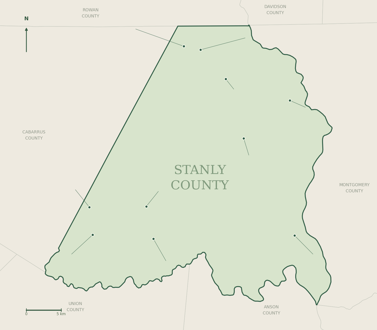
This first County Journal history feature starts with the landscape, follows the creation of a county in 1841, and then uses photographs, a timeline and census figures to connect that past with the places residents know today. Use the county map alongside this article, or start with the ten town guides.

Put today’s growth in perspective
The U.S. Census Bureau’s QuickFacts reports 60,585 county residents in the 2010 census and 62,504 in the 2020 census. Its July 1, 2025 population estimate is 68,830. The chart uses a zero baseline and distinguishes the later estimate from the two census counts.

| Reference date | Population | Type of measure |
|---|---|---|
| April 1, 2010 | 60,585 | Decennial census count |
| April 1, 2020 | 62,504 | Decennial census count |
| July 1, 2025 | 68,830 | Population estimate, Vintage 2025 |
The difference between the two census counts is 1,919 people, or about 3.2%. The 2025 estimate is not a new census and should not be presented as one. QuickFacts calculates its official post-2020 percentage change from an adjusted estimates base, which differs slightly from the published census count. County totals also do not establish which individual town grew fastest or why.
Build your own route through the county
For a county-seat visit, pair the Albemarle town guide with the Historical Society’s walking tour and the museum directory. For a water-and-industry route, read Badin and Norwood alongside the lakes guide. Confirm public access and opening information before making a trip.
To explore western and northern Stanly, connect Locust, Stanfield, Red Cross, Oakboro, Richfield, New London and Misenheimer. These links lead to individual histories and official municipal resources rather than an assumed one-size-fits-all county itinerary.
Turn curiosity into a small research project
Choose one place and one question: Who operated this store? When did this school move? What stood on this corner before the current building? Record the date, creator and collection for each photograph. Compare contemporary records with later recollections, and retain uncertainty where they disagree. The DigitalNC Stanly County collection, county census research resources and research guide make useful next stops.
Have a documented correction or a local story with source material? Use the submission guide. The strongest county guide grows through specific, checkable contributions from the people who know its places.
Sources and links checked October 2, 2026. Documentary photographs retain their original dates; charts and diagrams identify their sources. Editorial policy · Send a documented correction