Badin, North Carolina
A company town beside the lake.
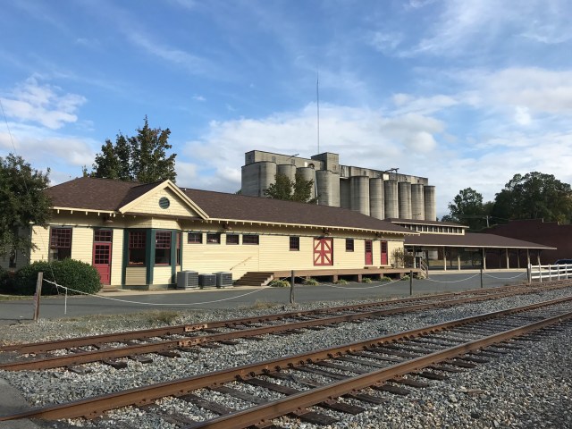
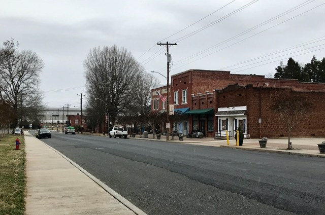
French industrial planning, aluminum production and the Yadkin River shaped Badin. Its compact streets and historic district pair naturally with time in the town’s parks and the nearby lake landscape.

Get to know Badin.
Local starting points, with official resources and directions.
Historic Badin
Read the town’s account of its French and aluminum-industry connections before exploring the historic streets.
Three town parks
West Badin Park, Badin Recreation Park and Pine Street Park offer different settings for play, sports and a quiet break.
Badin Lake & the Uwharries
Plan lake access and trail outings with the regional outdoor guide. Lake recreation sites and trailheads extend beyond the town boundary.
Badin, by the numbers.
A dated snapshot of population, with the full comparison shown below.
Bars start at zero. Scale is specific to this town.
| Reference date | People | Measure |
|---|---|---|
| April 1, 2020 | 2,030 | Revised census base |
| July 1, 2024 | 1,916 | Estimate |
| July 1, 2025 | 2,148 | Estimate |
Source: NC Office of State Budget and Management, Municipal Population Change, Vintage 2025. People, whole municipality; July 1 estimates. The April 1, 2020 base is revised and differs from the original census count. Locust includes its Stanly and Cabarrus portions. Figures reviewed October 15, 2026.
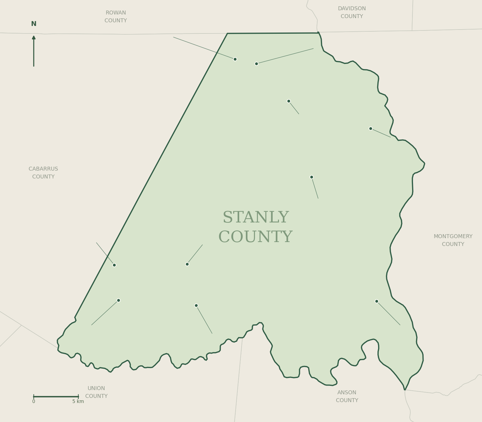
Place Badin on the map.
Use Census geography for county orientation and the linked street map for your actual destination.
 1AlbemarleAlbemarle · 17,754 people
July 2025 OSBM estimate · Open guide →2BadinBadin · 2,148 people
July 2025 OSBM estimate · Open guide →3LocustLocust · 5,847 people
July 2025 OSBM estimate · Open guide →4MisenheimerMisenheimer · 649 people
July 2025 OSBM estimate · Open guide →5New LondonNew London · 796 people
July 2025 OSBM estimate · Open guide →6NorwoodNorwood · 2,526 people
July 2025 OSBM estimate · Open guide →7OakboroOakboro · 2,472 people
July 2025 OSBM estimate · Open guide →8Red CrossRed Cross · 915 people
July 2025 OSBM estimate · Open guide →9RichfieldRichfield · 624 people
July 2025 OSBM estimate · Open guide →10StanfieldStanfield · 1,721 people
July 2025 OSBM estimate · Open guide →
Local information, in one place.
Town contacts
| Municipality | Badin |
|---|---|
| Address | 100 Falls Road, Badin, NC 28009 |
| Phone | 704-422-3470 |
| Official source | Town services, notices & contacts ↗ |
Confirm office hours and service details with the municipality. Misenheimer’s listed address is for mail.
Schools & family resources
Explore these schools and programs in the surrounding area. Attendance depends on the official address lookup and admissions rules; this list does not assign a home to a school.
Badin through time.
- 1913: The French-led dam and town project begins.
- 1915: Alcoa acquires the unfinished development.
- 1917: Narrows Dam is completed.
Nearby communities, different stories.


Photo credits are provided on each linked town guide. Town facts and destination links reviewed October 15, 2026.