Ten towns.
A county to explore.
Find the place that draws you in.
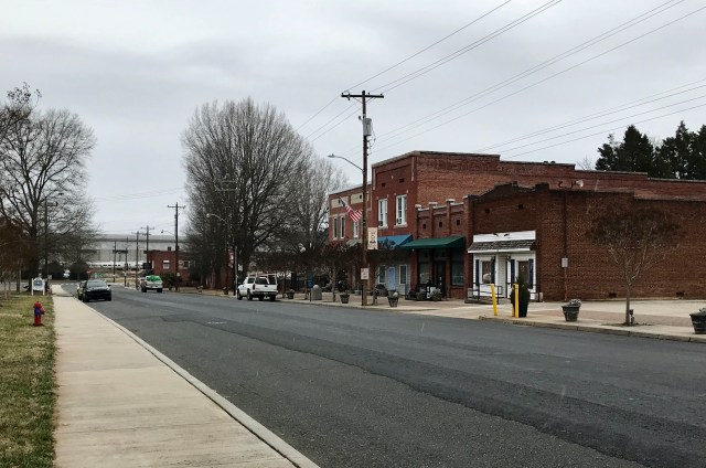
Historic downtowns, lake-country gateways, university life and small-town parks: explore all ten incorporated communities, with photographs, local guides, population comparisons and maps.

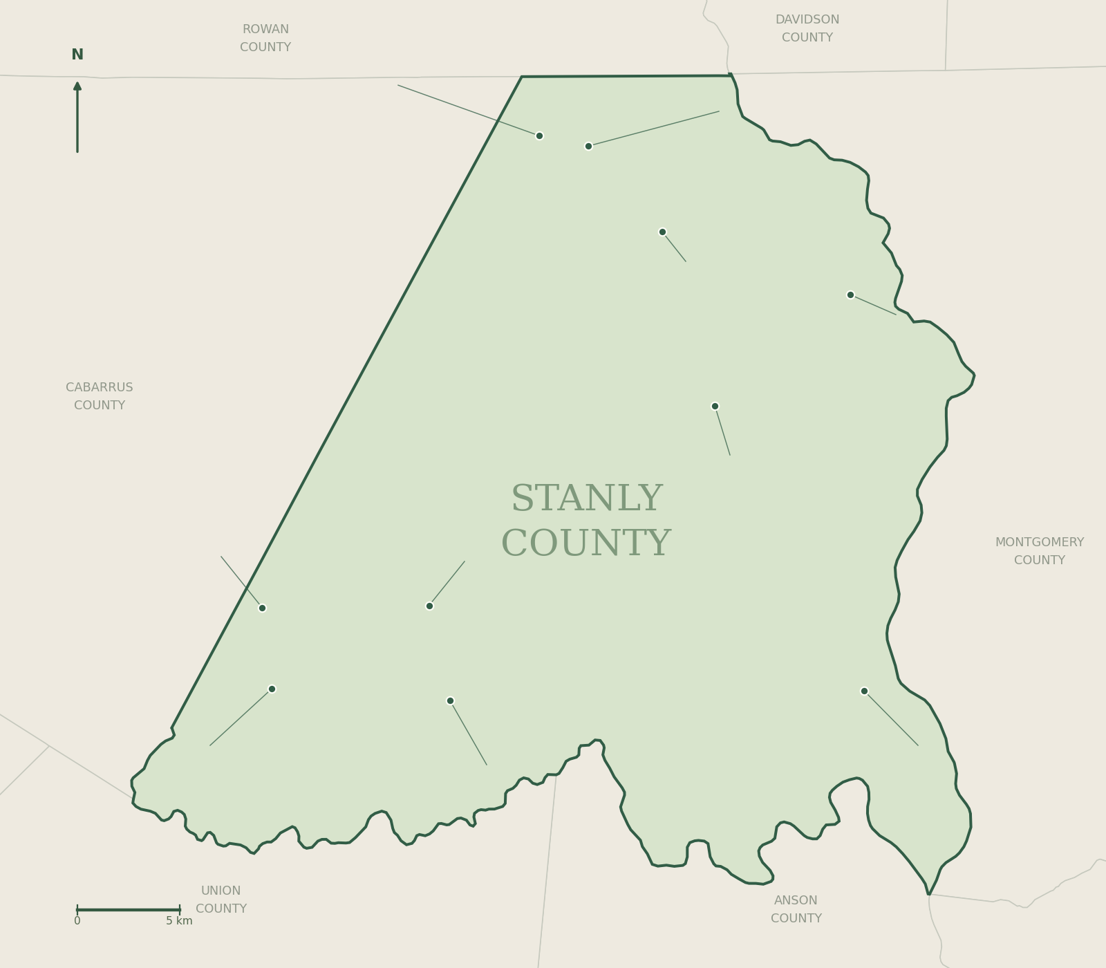
Choose a town on the map.
Hover or focus a town label for its population; select it to open the full guide. Gazetteer points identify communities, rather than visitor entrances.
 1AlbemarleAlbemarle · 17,754 people
July 2025 OSBM estimate · Open guide →2BadinBadin · 2,148 people
July 2025 OSBM estimate · Open guide →3LocustLocust · 5,847 people
July 2025 OSBM estimate · Open guide →4MisenheimerMisenheimer · 649 people
July 2025 OSBM estimate · Open guide →5New LondonNew London · 796 people
July 2025 OSBM estimate · Open guide →6NorwoodNorwood · 2,526 people
July 2025 OSBM estimate · Open guide →7OakboroOakboro · 2,472 people
July 2025 OSBM estimate · Open guide →8Red CrossRed Cross · 915 people
July 2025 OSBM estimate · Open guide →9RichfieldRichfield · 624 people
July 2025 OSBM estimate · Open guide →10StanfieldStanfield · 1,721 people
July 2025 OSBM estimate · Open guide →
How the towns compare.
July 1, 2025 population estimates, from a single NC OSBM release. These are whole-municipality estimates, not a ranking of visitor appeal or quality of life.
View the complete population table
| Town | 2020 revised base | 2024 estimate | 2025 estimate | 2024–25 change | 2020–25 change |
|---|---|---|---|---|---|
| Albemarle | 16,452 | 17,497 | 17,754 | +257 | +7.9% |
| Badin | 2,030 | 1,916 | 2,148 | +232 | +5.8% |
| Locust | 4,553 | 5,664 | 5,847 | +183 | +28.4% |
| Misenheimer | 651 | 649 | 649 | +0 | -0.3% |
| New London | 609 | 779 | 796 | +17 | +30.7% |
| Norwood | 2,370 | 2,492 | 2,526 | +34 | +6.6% |
| Oakboro | 2,127 | 2,431 | 2,472 | +41 | +16.2% |
| Red Cross | 767 | 866 | 915 | +49 | +19.3% |
| Richfield | 574 | 615 | 624 | +9 | +8.7% |
| Stanfield | 1,594 | 1,692 | 1,721 | +29 | +8.0% |
Source: NC Office of State Budget and Management, Municipal Population Change, Vintage 2025. People, whole municipality; July 1 estimates. The April 1, 2020 base is revised and differs from the original census count. Locust includes its Stanly and Cabarrus portions. Figures reviewed October 15, 2026.
Locust spans two counties, so these municipal figures should not be summed to calculate Stanly County’s urban population. Changes in estimates can reflect demographic changes, revisions and boundary changes; they do not by themselves explain a cause.
Explore all ten town guides.
Albemarle
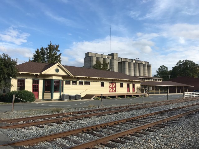
Downtown streets, a restored railway station, museums and city parks make Albemarle a useful starting point for exploring Stanly County. Follow its civic and industrial history, then make time for the independent businesses around the center of town.

Badin
French industrial planning, aluminum production and the Yadkin River shaped Badin. Its compact streets and historic district pair naturally with time in the town’s parks and the nearby lake landscape.

Locust
Locust combines a civic center, community recreation and a busy NC 24/27 corridor. Explore its park facilities, local history and events, with convenient links for residents as well as visitors.

Misenheimer
Pfeiffer University and Gray Stone Day School give Misenheimer a distinctive educational identity. The Village Square and nearby Falcon Trail connect its campus setting with everyday community life.

New London
New London’s local museum and Memorial Park offer two different ways to get to know this northern Stanly town. Its history is tied to mining and the development of the surrounding countryside.

Norwood
Norwood brings together a traditional downtown, community parks and access to the Lake Tillery region. Explore local history, plan a park stop and follow the town’s own information for public water access.

Oakboro
Oakboro’s railroad story, local museums and Main Street give the town a clear sense of place. Pair a history stop with recreation information and the school’s hands-on STEM resources.

Red Cross
Red Cross sits at the meeting of NC 24/27 and NC 205 in western Stanly County. Town Hall, local institutions and the surrounding rural landscape help explain this smaller municipality.

Richfield
Richfield’s parks, local history collection and northern Stanly setting reward a closer look. Use the town’s own places directory to plan a park visit or continue toward nearby reservoir access.

Stanfield
Stanfield’s recreation spaces, reconstructed log barn and local streets give this southwestern Stanly community its character. Use the town’s current registration resources for sports and community programs.
Start with your interests.
History & Main Street
Start in Albemarle, Badin, New London or Oakboro, then follow the full town histories and marker guides.
Explore local history →Parks & family time
Explore Locust, Stanfield, Richfield and Misenheimer’s community spaces. Check official park and program details.
Summer 2027 camps →Lake-country outings
Use Norwood and Badin as starting points for the wider lake region. Choose a public launch or trailhead before setting out.
Parks, trails & access →