Gold, Railroads & Industry in Stanly County
Follow linked town histories to explore mining, railroads, textiles, aluminum and changing local economies.
Pictured: the power plant at Narrows Dam, Yadkin River, Badin. Photo: Wasrts / Wikimedia Commons, CC BY-SA 4.0
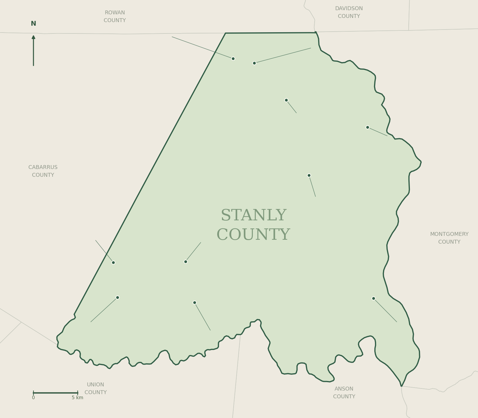
Different industries left different marks on Stanly County. The gold-mining story is especially visible in New London and the Misenheimer area. Railroad development is central to Oakboro and Stanfield. Badin’s planned streets and lake connect local history to hydroelectric power and aluminum production.
 New London municipal map · U.S. Census Bureau · 2025Gold & investment
New London
From Bilesville to a mining-era name change.
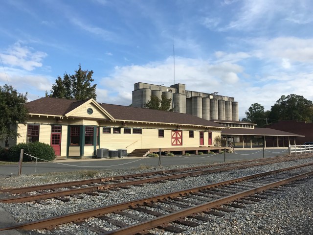
Explore → Misenheimer, North Carolina · 2020 · Indy beetle / CC0Mining & education
Misenheimer
Gladstone, springs and an educational community.
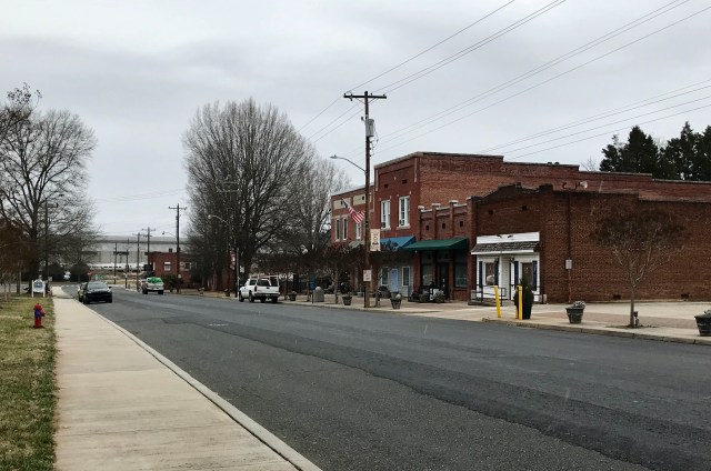
Explore → North Main Street in Oakboro, North Carolina · 2023 · Indy beetle / CC0Rail & textiles
Oakboro
A depot, a town and an industrial workforce.
Explore → Stanfield municipal map · U.S. Census Bureau · 2025Rail & schools
Stanfield
Track the difference between settlement and incorporation.
Explore → Badin, North Carolina · 2021 · Indy beetle / CC0Power & aluminum
Badin
A local landscape connected to international industry.
Explore →Follow the workers, too
A fuller industrial history asks who performed the work, where families lived, how labor was organized and who bore the environmental costs. Company publications, newspapers, maps and oral histories can disagree; preserve those differences instead of smoothing them into a single promotional narrative.
Browse the complete guide →