Home Builders Association
A banking history preserved beside a downtown entrance.
The longer story.
The plaque at 103 North Second Street records three dates in the history of a local financial institution. Home Builders Association began serving customers here on July 1, 1911. Home Savings Bank returned to the site on September 5, 2008. On April 1, 2014, it merged with Bank of North Carolina.
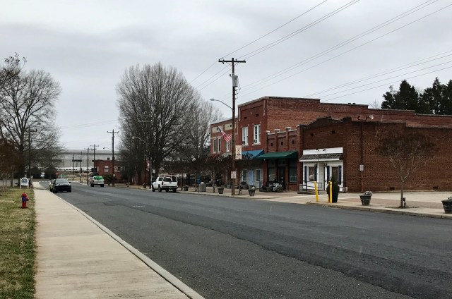
Despite its name, this marker concerns the institution that became Home Savings Bank; it should not be confused with a present-day trade association for construction businesses. The marker is placed beside the main entrance. HMdb’s 2024 photograph identifies the building then occupied by Pinnacle Financial Partners, a dated observation rather than a guarantee of the current tenant.
Research: HMdb: marker photographs, transcription & location ↗
How to read this place.
A bank plaque can make institutional continuity appear simple. Here the useful questions concern the changing name, location and organization behind the dates. Treat the three events as a framework for research in business records and city directories. The marker does not supply assets, customer counts, lending totals or a continuous occupancy history; those statistics should not be inferred from the institution’s longevity.
Milestones at a glance.
- July 1, 1911Home Builders Association opens here
- September 5, 2008Home Savings Bank returns
- April 1, 2014Merger with Bank of North Carolina
Nearby and connected stories.

A Shard from the Pentagon
A fragment of a national tragedy, preserved in a local garden.
Read the full history →Alameda Theatre
The arrival of purpose-built cinema on North Second Street.
Read the full history →Albemarle Hotel
Sixty rooms and a new setting for the town’s social life.
Read the full history →Keep exploring Stanly history
Rivers, rail, mills and the towns they built.
 County originsHow Stanly was formed in 1841
 Towns & communitiesFrom Badin to Big Lick
 The landscapeUwharries, rivers and lakes
 IndustryDams, aluminum and textile mills
 MuseumsWhere to see the county story
 Historical markersEvery marker, mapped
 Rosenwald schoolsKingville and community education
 Research toolsArchives, deeds and family history