Morrow Mountain State Park Guide
Plan a Morrow Mountain visit with official trail, camping, program and park-contact links.
Pictured: the summit observation deck, Morrow Mountain State Park. Photo: DiscoA340 / Wikimedia Commons, CC BY-SA 4.0
Morrow Mountain is a central starting point for a Stanly County outdoor trip. Choose a trail, look into camping or plan a day around the park’s water and picnic facilities.
 Walk
Compare the trails
Published park lengths and difficulty labels.
Explore →Image and source details in the linked guide. Stay
Camp or book a cabin
Use the official reservation system.
Explore →Image and source details in the linked guide. Before you go
Check park conditions
Current closures, hours and program details.
Explore →Photo: DiscoA340 / Wikimedia Commons · CC BY-SA 4.0.Park contact
49104 Morrow Mountain Road, Albemarle, NC 28001
704-982-4402
A landscape with a human history
The park is also part of the region’s archaeological and conservation story. Follow the landscape history guide for a research-oriented introduction. Leave artifacts and natural features in place.
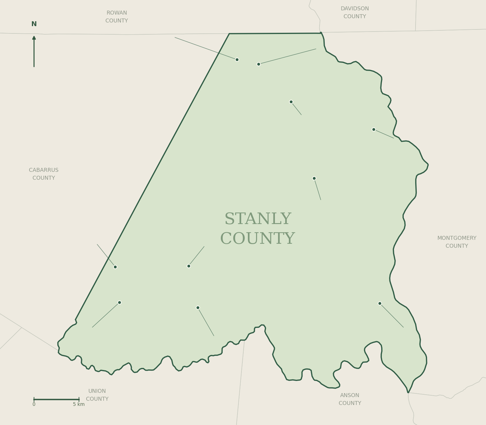
Town and community markers are Census internal points, not town halls or boundaries. Outdoor markers are published destination coordinates. Uwharrie campgrounds shown here are nearby in Montgomery County. Use official maps for trail navigation.
Morrow Mountain State Park
State park orientation point. Open the official trail map for individual trailheads, routes and parking.
Badin Lake Campground
Regional national forest campground outside Stanly County. Check the official reservation page for directions, current conditions and site availability.
Arrowhead Campground
Regional national forest campground outside Stanly County. Check the official reservation page for directions, current conditions and site availability.
Canebrake Horse Camp
Regional national forest campground outside Stanly County. Check the official reservation page for directions, current conditions and site availability.
Falcon Trail — trailhead 1
Trail access point published on the Carolina Thread Trail map. Check route and parking details before visiting.
Falcon Trail — trailhead 2
Trail access point published on the Carolina Thread Trail map. Check route and parking details before visiting.
Rock Hole Creek Trail — trailhead 1
Trail access point published on the Carolina Thread Trail map. Check route and parking details before visiting.