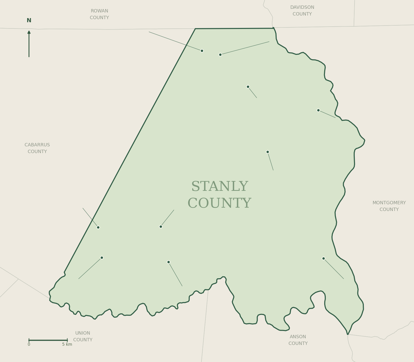
Palmerville is identified as an unincorporated area in Stanly County Utilities’ service information. It also has a place in the state’s architectural record: NC State University Libraries catalogs images of Eddins’ Boarding House in Palmerville, Stanly County in its Built Heritage collection.
Begin with the archive
The Eddins’ Boarding House catalog record is a useful lead for studying the community’s buildings. Treat the archive as documentation, rather than as an invitation to visit private property. A historic photograph does not establish a building’s present condition, ownership or public access.
To take the research further, record the archive’s title and identifier, then compare dated maps, deeds and family records. The county research guide connects those steps to the Heritage Room and public records resources.
Services and orientation
For a particular property, check Stanly County GIS and contact the relevant utility or planning office. Inclusion in a community-level utility description does not promise that a particular parcel has a connection.
Explore the wider setting
Continue with Badin, its town history, and the Yadkin lake guide. Use official public-access information when planning a water outing. Our Uwharrie guide distinguishes destinations in Stanly County from the national-forest recreation areas across the water.
Browse the complete guide →Nearby communities
Unincorporated places and the towns around them.
 MillingportOn NC 73 near the Rocky River
 All townsThe county’s 10 municipalities